")
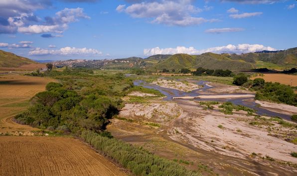
A groundwater-dependent ecosystem: The Santa Clara River in California, USA (photo: Melinda Kelly for TNC).
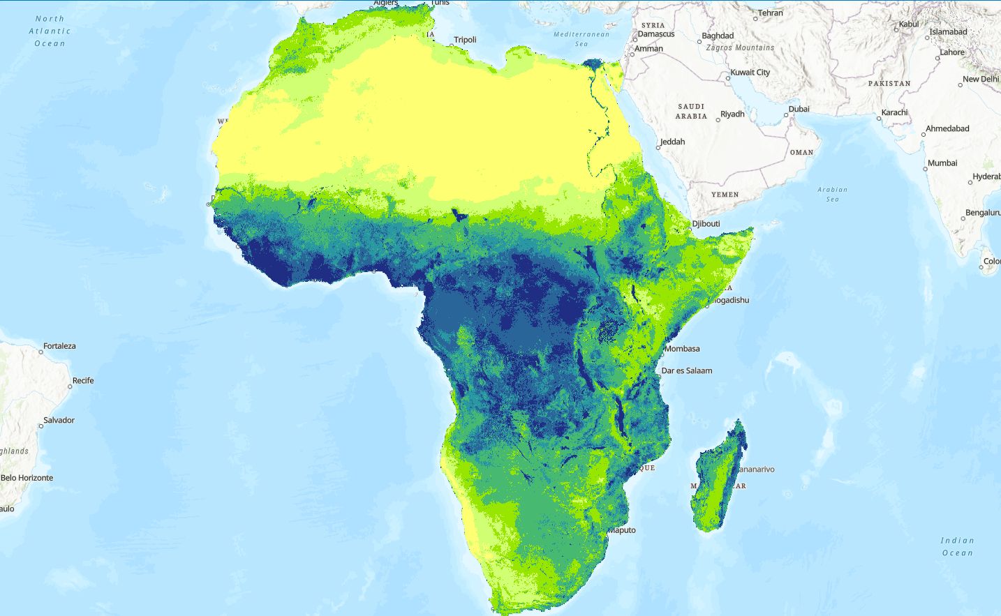
The Nature Conservancy (TNC), a partner in the Groundwater Solutions Initiative for Policy and Practice (GRIPP) and one of the largest non-profit conservation organizations in the world operating in 72 countries, has developed a new web-based app that provides groundwater managers in California, USA, with easy access to satellite data to monitor groundwater dependent ecosystems (GDEs). GDEs are terrestrial and aquatic (marine or inland) ecosystems that depend on groundwater emerging from aquifers or on groundwater occurring near the ground surface. This could be due to the simple presence of the resource, or to its specific quality or temperature or other characteristic as well as its seasonal or spatial variability.
Remotely sensed data from satellites have been used to monitor the health of vegetation and other parameters across the globe since the 1970s. With current advances in computing, data processing capabilities and easy access to satellite data, we are now able to efficiently monitor natural ecosystems in near real time. The GDE Pulse web app provides users with access to spatially well-resolved satellite data to view long-term temporal trends of vegetation metrics. These vegetation metrics serve as an indicator of the health for GDEs located along rivers, springs and in terrestrial settings. In addition, the GDE Pulse app provides long-term temporal trends of groundwater depth and regional precipitation from field measurements. This provides users with a useful platform to infer relationships between groundwater levels, precipitation and GDE vegetation metrics to enhance monitoring and sustainably managing groundwater and GDEs.
The tool has been developed to provide water agencies in California with a long-term biological dataset that can assist with understanding how GDEs have responded to changing groundwater levels in the past, e.g., increasing numbers of ephemeral streams or drying out wetlands due to intensive groundwater extraction. Along with local hydrological data, this information can provide an indication of the groundwater levels that are needed to maintain reliable supplies for ecosystems.
The satellite data and methods used to extract these data are available worldwide due to the accessibility of cloud computing power on Google Earth Engine and global satellite imagery. Therefore, while GDE Pulse currently includes data for GDEs in California only, it can be extended more broadly, if local monitoring of groundwater levels and rainfall exists.
Detailed documentation of the tool can be accessed here: https://gde.codefornature.org/#/methodology
To sign up for GRIPP news and updates, click here.
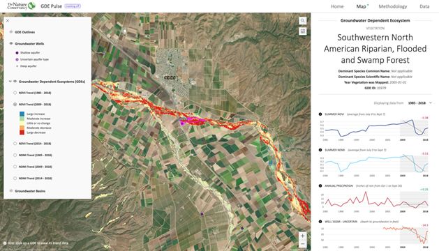
A glimpse of GDE Pulse. A new online app to monitor changes in groundwater dependent ecosystem health using satellite imagery.


, Civil and Environmental Engineering")